🌍 Intro
In today's technologically advanced world, geologists and field scientists have access to a plethora of mobile applications that significantly enhance their work efficiency. Whether you're measuring geological formations, tracking your location, or gathering data, your smartphone can be an invaluable tool. This blog delves into various applications that can aid geologists in their fieldwork, focusing on their functionalities and practical uses in real-world scenarios.
🛠️ Geology Toolkit Premium
One of the standout applications for Android users is the Geology Toolkit Premium. This app offers mobile topography and geological maps that are especially useful for fieldwork. With its user-friendly interface, geologists can easily access detailed maps and information about geological formations. This application is particularly favorable for those who rely on Galaxy-type Android phones.
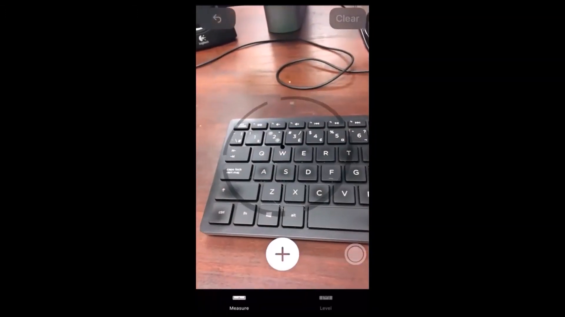
📏 Measure
The Measure app is an incredibly handy tool that allows users to measure distances directly using their iPhone screen. By simply tapping two points on the screen, users can obtain accurate measurements in centimeters or inches. This feature is especially useful when quick measurements are needed in the field, allowing geologists to gather data efficiently without the need for additional tools.
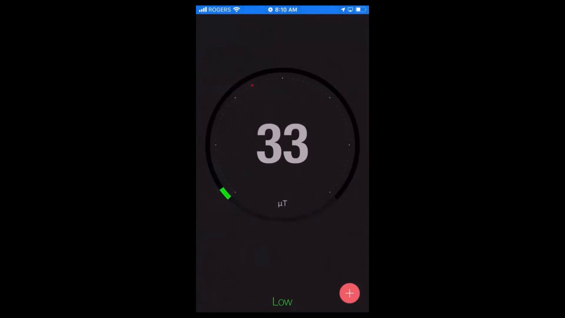
🔌 EMF Detector
The EMF Detector application specializes in measuring electromagnetic fields in the surrounding environment. While it does not record or export data, it provides real-time readings that can inform users about the electromagnetic charges around them. This feature can be particularly useful for geologists who need to assess the electromagnetic properties of various geological formations.
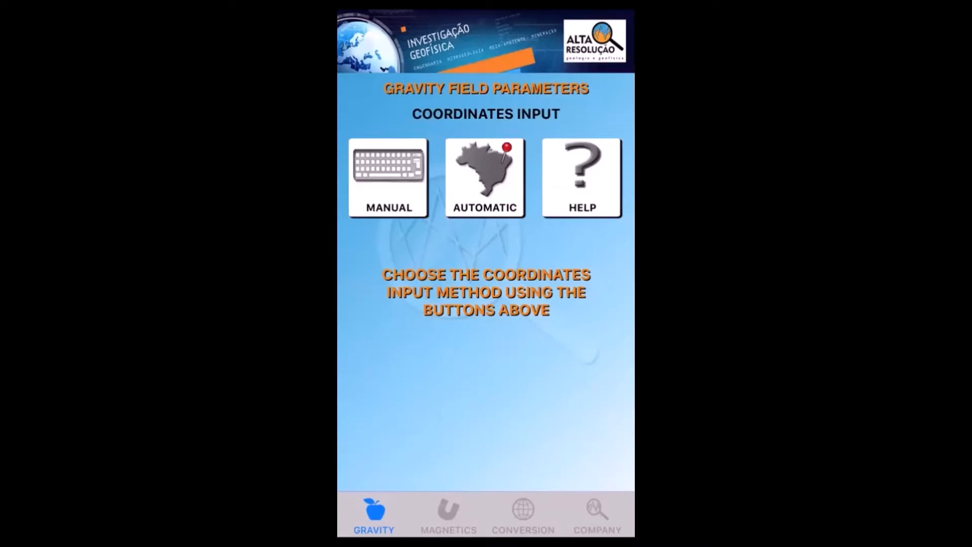
🧭 Do Tools
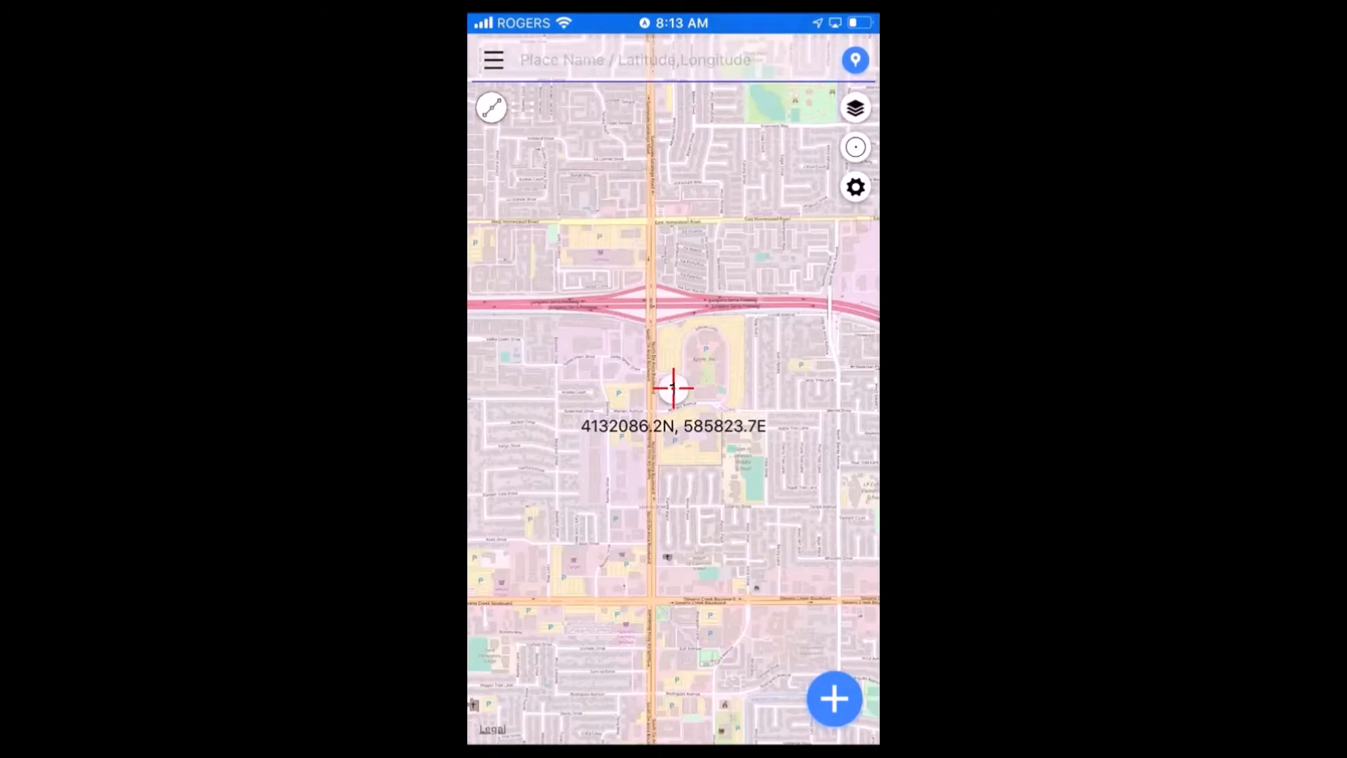
Do Tools is a Brazilian application that serves as a comprehensive database for gravity and magnetic measurements worldwide. Users can access gravity data based on their geographical location, including latitude, longitude, UTM coordinates, and altitude. This app is beneficial for geologists who require precise gravity and magnetism data for their research and fieldwork.
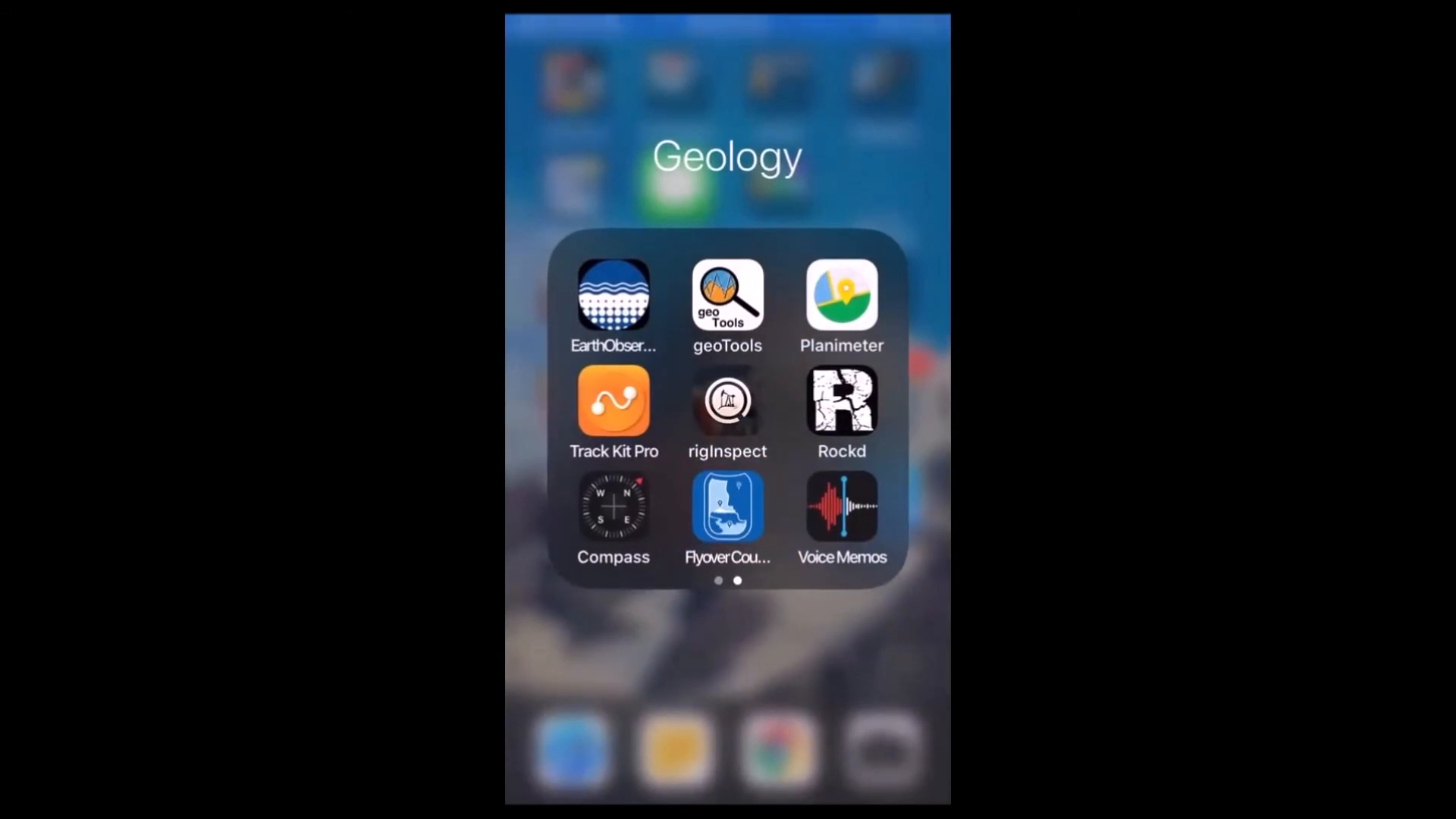
📏 Planimeter
The Planimeter app is designed for estimating areas and distances, making it a valuable tool for geologists. By providing a simple interface, users can quickly determine the size of geological features without complex calculations. This app is practical for fieldwork, enabling geologists to gather necessary data efficiently.
📍 Track Kit Pro
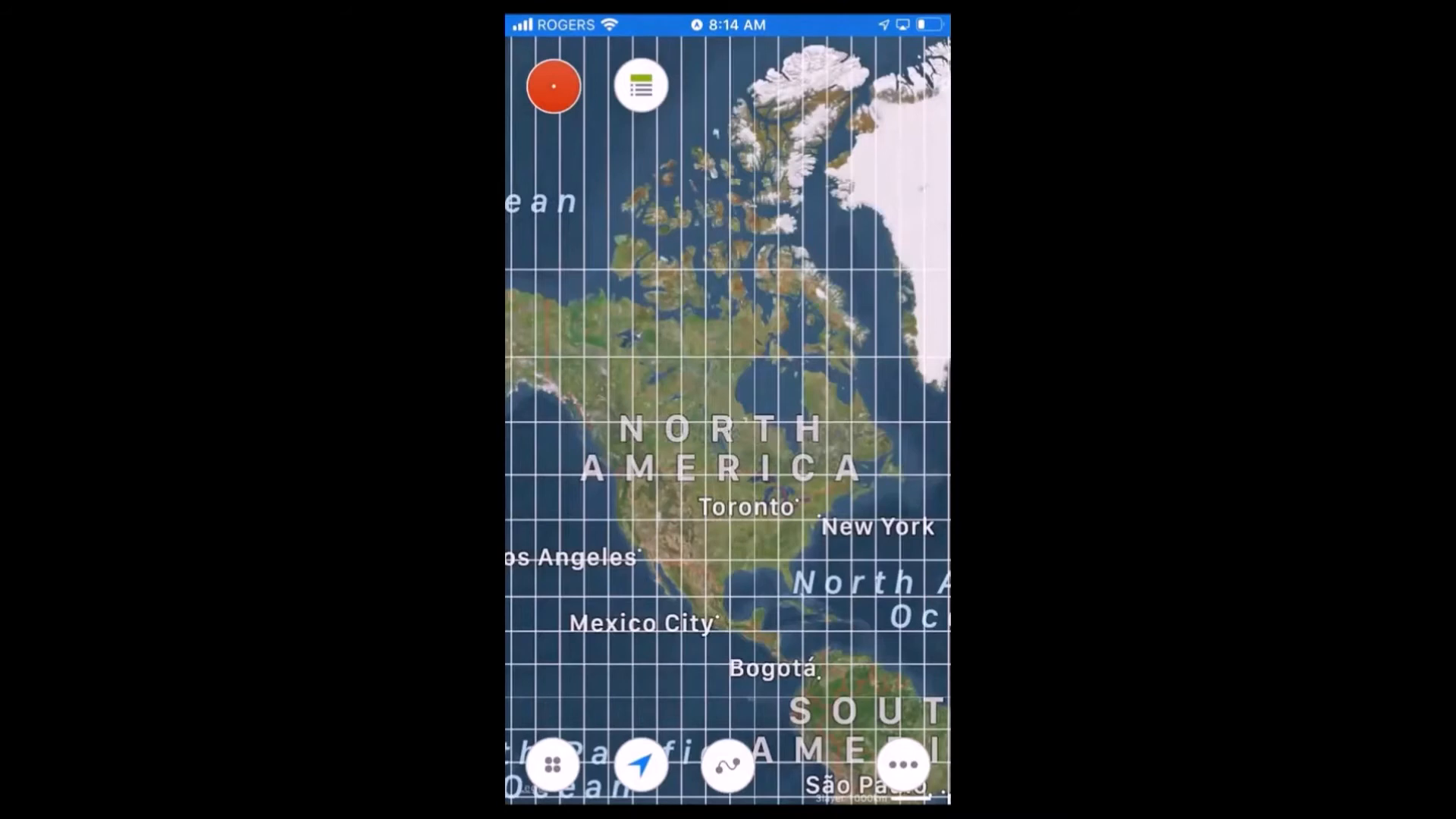
Track Kit Pro is an application that tracks your location and itineraries. While it may seem redundant given other mapping applications, it can be helpful for recording specific routes during geological surveys. This functionality allows geologists to revisit locations accurately, ensuring that no valuable data is lost in the field.
🪨 Rock Be
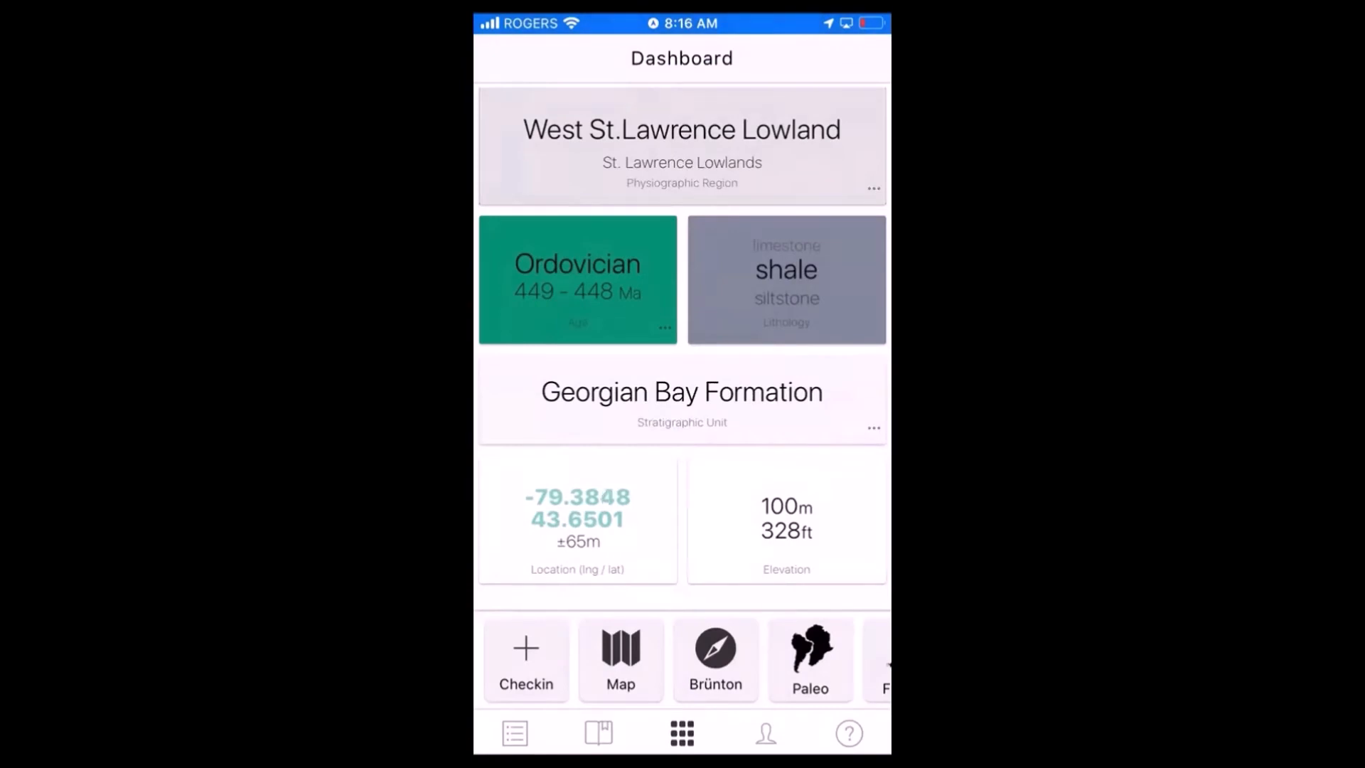
Rock Be is another essential application that provides detailed geological information. It can determine the type, age, and formation of rocks in a specific area. This app also allows users to create points on a map, making it easier to visualize geological formations and their characteristics. The inclusion of paleontological data enhances its utility for geologists who study fossils and minerals.
✈️ Flyover Country
For those who frequently travel by air, the Flyover Country app is a must-have. It provides information about the geological formations you are flying over, including the age and type of rocks. This application is particularly useful for enhancing general geological knowledge and can be a fun way to learn about geology while traveling.
🎤 Voice Memos
Voice Memos is a straightforward yet effective tool for recording quick notes in the field. Geologists can use this app to document observations without stopping to write them down. Additionally, voice-to-text features can be utilized to convert spoken notes into written text, further enhancing productivity.
🔒 Outro
In conclusion, these applications represent just a fraction of the tools available to geologists today. From measuring distances to accessing geological data, smartphones have become indispensable in the field. It’s crucial to protect your devices with sturdy cases and ensure they are well-maintained during fieldwork. As technology continues to advance, the possibilities for geologists will only expand, making fieldwork more efficient and informative.
❓ FAQ
- What is the best app for measuring distances?
The Measure app is highly recommended for accurately measuring distances using your smartphone screen.
- Can I use these apps on Android devices?
Yes, many of the apps mentioned, such as Geology Toolkit Premium, are available for Android users as well.
- How can I protect my phone while in the field?
It is advisable to use a sturdy case, a screen protector, and keep your device in a ziplock bag if crossing rivers.
- Are there any apps for tracking geological formations while flying?
Yes, the Flyover Country app provides geological information about formations you are flying over.
For more information about geological research, you can visit ORCID.
Made with VideoToBlog

No comments:
Post a Comment